Network Map
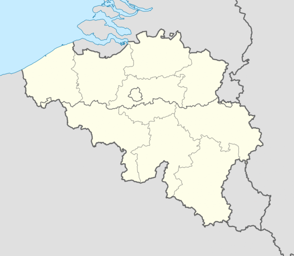
This is the geographical distribution of the stations of the BRAMS network. The green spots represent the recently updated receiving stations, the red spots represent the outdated stations while the triangle represents the beacon at Dourbes. You can hover over the spots to know the names of the stations.
Change the date to see how the receiving stations have evolved over time. You can also choose to hide the inactive or active station for each date.

Station Info
Station Name
Station Country Code
File Availability on


